
Mount Vernon Neighbor Record Sources
Public sources describe parcels, owners, registrations, permits, and community spaces. They do not form a complete household roll. Skagit County iMap is the strongest block tool because it starts at one address and exposes adjacent parcel geometry. The Assessor supplies current administrative owner and mailing fields. Voter information follows Washington disclosure limits, while association sites publish community material rather than member rosters.
| Source | What It Shows About a Block | Access |
|---|---|---|
| Skagit County iMap | Parcel shapes, nearby lots, owner and situs fields | Free map and CSV tools |
| Skagit County Assessor | Recorded owner, mailing address, values, transfers | Free portal and office |
| Washington voter data | Only public fields allowed by statute | Controlled SOS extract request |
| Neighborhood associations | Community names, news, documents, public contacts | Public pages; some member-only areas |
| Directories and newspapers | Dated occupants, notices, and local history | Library, society, and archive routes |
An owner may receive mail elsewhere, and one parcel can contain residents never named in the tax roll. A registered agent, permit contractor, or same-surname neighbor is not proof of identity. Treat each record as evidence of the narrow fact it states.
Map Mount Vernon Adjacent Parcels
The Skagit County iMap accepts address, parcel ID, and PLSS searches. After a parcel is selected, click the lots around it or use a buffer to build a parcel list. Available buffer distances run from 300 feet to 5,280 feet. A 300-foot buffer is closer to the immediate block; a mile-wide result describes a much broader area.
Parcel-list fields can include owner, mailing address, situs address, parcel number, acreage, legal description, values, sale details, district data, and PLSS. The list may be exported to CSV. Auditor documents returned from a PLSS search can cover a broader section, township, and range, so they are not always tied only to the clicked parcel.
The official parcel viewer pictured below is the map source for a Mount Vernon neighbor lookup.
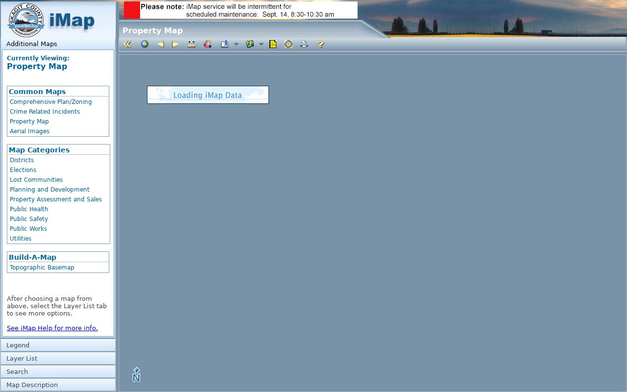
The viewer supplies parcel relationships, not names of every person on the block.
Trace a Mount Vernon Block
Use a reproducible flow: address to parcel, parcel to adjacent lots, lots to Assessor cards, then owner names to any separate lawful record. Do not begin with a broad name search. A stable parcel number prevents similar street names or unit formats from merging.
- Locate the address in iMap and record the selected parcel ID.
- Click each adjoining parcel or run the smallest suitable buffer.
- Open each parcel in the Assessor search. Compare situs and mailing fields without assuming owner occupancy.
- Use permits, deeds, or historical sources only for the fact and date each source actually records.
The Mount Vernon street directory owns the longer workflow for an entire named road. A neighbor search should stop at the immediate block or selected radius.
Label Mount Vernon Parcel Owners
The Skagit County Assessor search has address, parcel, owner name, road, and XrefID modes. A parcel card separates the situs address from the owner's mailing address and adds values, taxes, transfers, permits, and map links. Situs means the physical property location. A parcel is the county's defined unit of land.
Copy the parcel number and legal description before comparing nearby lots. Similar mailing names do not prove a family relationship. A deed shows a recorded transaction, and a permit shows a filing tied to work. Neither establishes everyone who currently lives there.
Mount Vernon Community Names
Mount Vernon parks and open-space material names community areas such as Big Fir, Firwest Estates, Skagit Highlands divisions, Highland Greens, Inverness, and Monarch. These labels can help interpret a parcel or older address. They do not create public resident directories.
Maddox Creek
The association site describes 64 single-family homes, 60 condominiums, and 78 townhomes, with public news and documents.
Nookachamp Hills
The community site places the association east of downtown near Big Lake and keeps some material for members.
Downtown Association
The Downtown Association supplies civic and business-community context, not a household roster.
Public contact pages can identify an association or explain a shared space. Membership and contact lists remain private unless the organization itself lawfully publishes them.
Mount Vernon Block Voter Limits
Washington law makes certain voter fields public under RCW 29A.08.720, subject to protected registrations and other limits. RCW 29A.08.740 restricts misuse. The statewide file is a controlled CSV request to the Secretary of State, not an open neighbor roster, and VoteWA mainly serves the individual voter.
A 2025 state dispute and Skagit Elections' 2026 SOS routing reinforce that public voter data is not unrestricted. Do not publish a block list or infer an unregistered adult from an absent record. Address Confidentiality Program participants use substitute addresses under RCW 40.24.030.
Official Mount Vernon Neighbor Sources
Official rolls identify a custodian, record date, and narrow purpose. Commercial neighbor tools may merge old addresses, relatives, and phone records without showing how a match was made. They can lag behind corrections and should never override the Assessor, recorder, court, or association that created a record.
| Source type | Strength | Limit |
|---|---|---|
| Official parcel roll | Dated owner and land fields | Not an occupant list |
| Official map | Adjacent parcel geometry | No complete household data |
| Community source | Local name and public contact | Roster may be private |
| Commercial compilation | Broad hints | May be stale or merged |
Use the official source first, then ask its custodian to correct an error. That method protects both accuracy and the privacy of Mount Vernon neighbors.
Research a Mount Vernon Block
The Mount Vernon Library Commons supplies current newspaper and digital-research access. County historic newspaper runs reach Mount Vernon publications from 1895, while the Skagit Historical Society holds maps, photographs, letters, organization papers, and oral histories. These sources can date an event or explain a community name.
County addressing work in 2021-22 improved mapped address-point accuracy from about 300 feet to about 13 feet. That can explain why an old point sits differently on today's block. It should not be described as a street-renumbering event. Historical evidence belongs to its own date and does not identify present neighbors.
Mount Vernon Neighbor Privacy
Utility accounts, motor-vehicle addresses, delivery data, unpublished household members, protected voter records, and Address Confidentiality Program locations are not ordinary public block sources. A renter may not appear in parcel data, and an association member list may be private. The absence of a name proves nothing about who lives there.
Use narrow facts for civic curiosity, property research, reconnecting, and personal safety. Ask the source office to correct a bad parcel or map field. Never try to work around a substitute address or restricted record.
Lawful use. Mount Vernon neighbor records support lawful personal research. Never use them to watch, stalk, harass, intimidate, or harm anyone.